
Loading Protego Path...
Loading Protego Path...
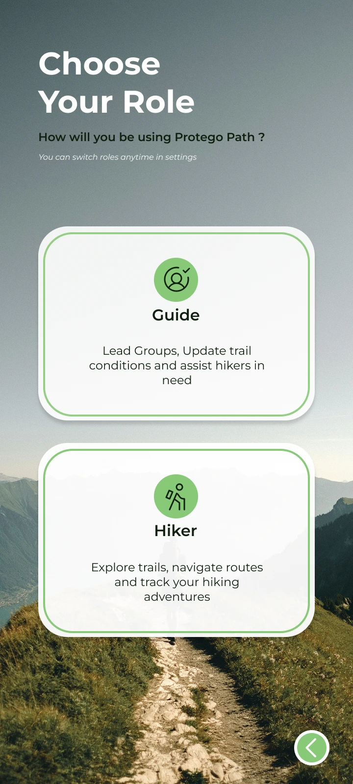
Travel safely with offline maps, locally verified routes, and real-time safety updates
No signal. No warnings. No battery left. That’s when they disappear.
Lose signal → lose your map. Simple as that.
No heads-up for floods, wildlife, or trail closures.
Drains your phone in hours right when you’re deepest in.
We don’t stop until it’s done right
Download once, works forever
Cliffs, rivers, wildlife warnings
Emergency messaging anywhere
Made by real mountain experts
Forecasts, water sources, sunset
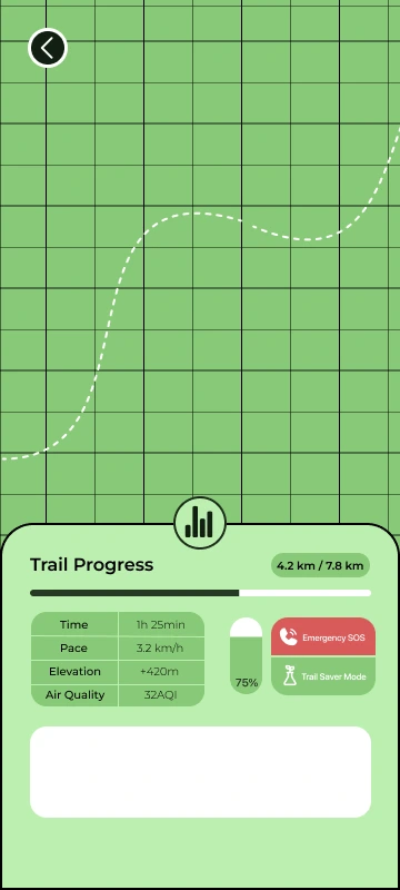
Altitude, pace, photos, logs

Whether you’re chasing summits or sharing hidden gems everything happens in seconds.
Adventure without the anxiety
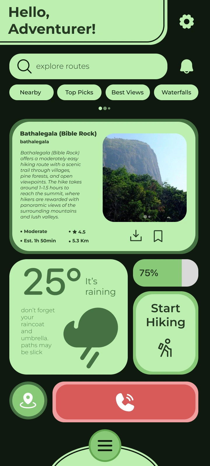
Thousands of hand-crafted routes by local guiders vetted, updated, and ready for offline use.
Live weather, air quality, flash-flood risk, water sources, and emergency checkpoints always one tap away.
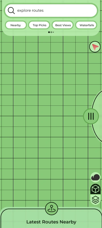
Offline navigation, instant hazard alerts, and SOS beacon so you can focus on the view.
Share your trails. Protect the community.
Draw trails, drop pins, add photos, hazards, water points, and hidden viewpoints no tech skills needed.
Your name on every map. Get credited, build reputation, and keep hikers safe.
Update conditions in real time close a section, warn about wildlife, or reveal a new waterfall instantly.

Senuka Dinuwara
Lead Developer

Malindu Sasandara
IOT Manager

Sandaru Rajapaksha
UI/ UX Developer

Hovindu Nethmika
Web Developer

Mohomed Aathif
Mobile Lead

Pavanirusha Sivapalan
Project Manager
Choose the perfect plan for your adventure needs. Switch between monthly and yearly billing.
For beginners exploring trails
Free forever
Always free
For active hikers
Billed monthly
Maximum support & features
Billed monthly
Join thousands of hikers and guides who trust Protego Path for their outdoor adventures.
Yes. Protego Path supports offline maps and offline route navigation, making it suitable for forests, mountains, and remote areas.
Protego Path integrates reliable weather APIs to provide real-time forecasts, including temperature, rainfall, wind, and pressure information.
Yes. The app tracks:
- Distance covered
- Time taken
- Elevation
- Route progress
Absolutely. Protego Path follows strong privacy and security measures, ensuring your location and personal data remain protected.
Yes. Users can instantly report hazards or urgent updates, helping protect other hikers.
Protego Path supports most hiking and natural areas. If a location is not available, hikers can request the route, and guiders in that region can upload or create the necessary path to make it available.
You can contact the support team through the in-app help section or by using the contact form on our website.

Join thousands of explorers who never go offline without Protego Path.